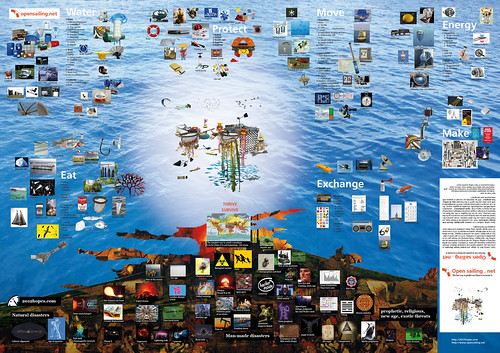
This is the concept map of the project : read from the bottom to the top, from the 2012 fears volcano, giving birth to the open sailing station. Download pdf (11.6mb) / see .jpg (2.6mb) / see flickr page
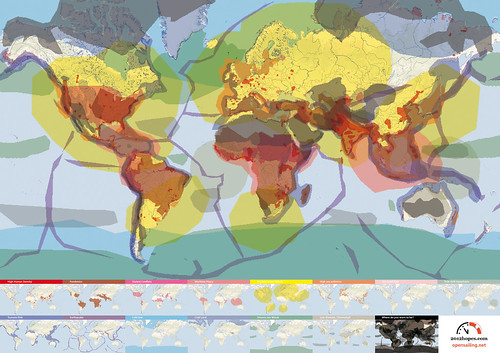
This is the geographical map of both 2012hopes.com and opensailing.net : 2012hopes.com suggests the ideal location, Open Sailing figures out how we will live and thrive in this new geographical context. download pdf (7.6mb) / see .jpg (1.4mb) / flickr page

The maps have all been programmed on maps.google.com, you can save individual map and ad them as your own (if you have a gmail account which is free and amazing) : all maps directory by 2012hopes@googlemail.com. You can also view these maps confortably using google earth.
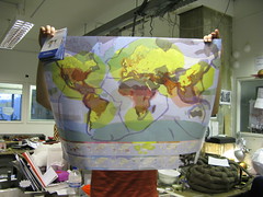
We have printed 300 of these maps to A1 size, if you want one email us, we'll arrange, we'll appreciate donations since they are expensive to print.
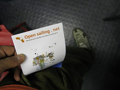
We might send the map as it is supposed to be : folded, to fit in your pocket, an authentic survival pratical map.

No comments:
Post a Comment
Please leave us comments, ideas, remarks, inspirations ...